Tokyo holds more than 7,800 public parks within its 2,194 square kilometres — yet the overwhelming majority of foreign visitors set foot in fewer than three of them. The capital's outdoor fitness culture runs far deeper than the obvious circuits, and a growing cohort of health-conscious residents is making a point of keeping it that way.
The timing matters. With global heat records accumulating month after month and urban heat island effects pushing central Tokyo's summer temperatures above 35°C on more than 30 days last year, finding shaded, green corridors for outdoor exercise has shifted from lifestyle preference to something closer to necessity. The Tokyo Metropolitan Government's Urban Green Space Promotion Plan, updated in March 2025, set a target of raising tree canopy cover in the 23 Special Wards by 15 percent before 2035. The trail networks that locals cherish are, quietly, the living infrastructure that plan depends on.
Where the Regulars Actually Go
Start in Nerima Ward, in the city's northwest. The Shakujii Park complex, centred on two spring-fed ponds — Shakujii Pond and Sanzaibuchi Pond — offers a 3.5-kilometre perimeter loop that passes through mixed broadleaf forest thick enough to drop the perceived temperature by four or five degrees compared with the surrounding streets. Weekday mornings before 8 a.m., the path belongs almost entirely to Nerima residents doing their daily ashi-undo, the low-intensity leg-movement practice that occupational health researchers at Juntendo University have linked to improved circulation in sedentary office workers. The park's free outdoor fitness equipment stations, installed by the ward in 2022, see steady use from retirees who treat the elliptical machines and balance beams as a second living room.
Farther south, the Nogawa Park and Musashino Park corridor in Chofu City stitches together nearly 6 kilometres of riverside walking along the Nogawa river without a single traffic crossing. The path runs beneath a near-continuous canopy of zelkova and cherry trees; in mid-July the firefly-watching spots near the river's headwater sections draw local families after dusk, though that crowd is almost exclusively from the surrounding Musashino and Mitaka neighbourhoods. The adjoining Jindai Botanical Garden charges just ¥500 for adults and functions as a de facto cool-down zone — water misters near the rose garden run from June through September.
The Kuhonbutsu Joshinji Temple trail in Okamoto, Setagaya Ward is perhaps the most underreported kilometre of green space in the 23 wards. A zelkova-lined approach path of roughly 400 metres connects directly to the Okamoto Yasuragino Sato park slope, and from there a footpath continues along the Kuhonbutsu River greenway for another two kilometres toward Jiyugaoka. Residents from the surrounding quiet residential blocks have used this route as a morning walk since long before the neighbourhood became famous for its patisseries.
The Evidence Behind the Habit
Research published by the National Institute for Environmental Studies in Tsukuba in late 2024 measured cortisol levels in 214 Tokyo adults before and after 20-minute walks in urban green corridors versus paved urban streets. Participants walking the green routes showed a 12.4 percent greater reduction in salivary cortisol. The sample was small, but the finding echoed earlier shinrin-yoku studies conducted in Okutama and Hinohara, two forested areas accessible by Ome Line train from Shinjuku in about 90 minutes.
Practical entry points exist for anyone willing to do a little homework. The Tokyo Midorinowa walking map, a free PDF published annually by the Bureau of Construction, charts 28 green connector routes across the city; the 2026 edition, released in April, added three Setagaya routes for the first time. The Nerima Ward walking club, run through the ward's sports promotion office, meets at Shakujii Park every Tuesday at 7 a.m. at no charge. Neither requires registration more complicated than showing up.
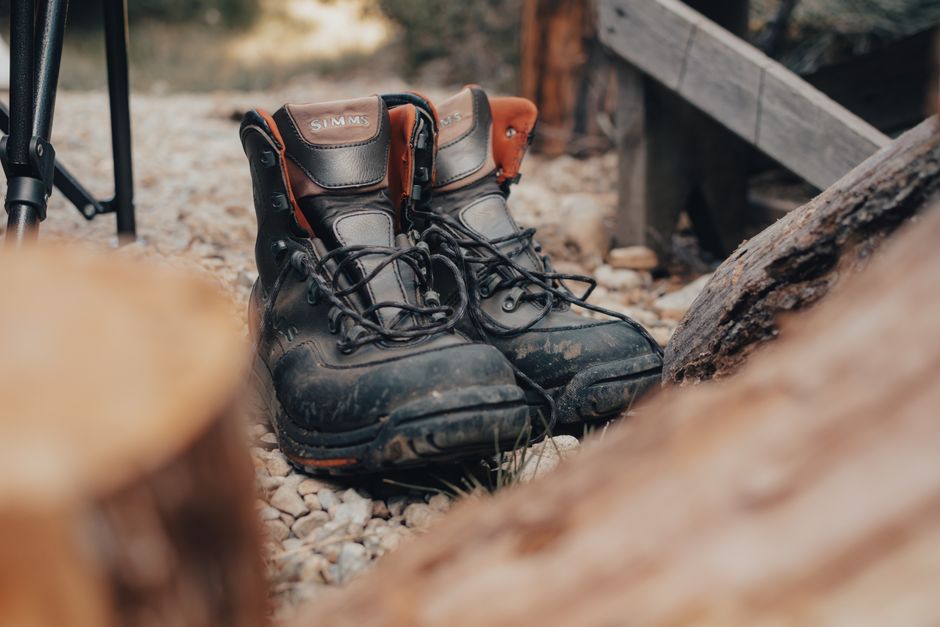
The city's best outdoor fitness culture was never secret exactly — it was just never marketed. Anyone with a pair of shoes and thirty minutes can access it. The instruction is straightforward: take the local train one or two stops past the obvious destination, follow the canal or the river or the temple wall, and let the regulars show you the pace.