How Tokyo's transport network became a model of necessity and ambition
From postwar rubble to Asia's most complex rail system, decades of planning and investment shaped the metropolis we navigate today.
From postwar rubble to Asia's most complex rail system, decades of planning and investment shaped the metropolis we navigate today.
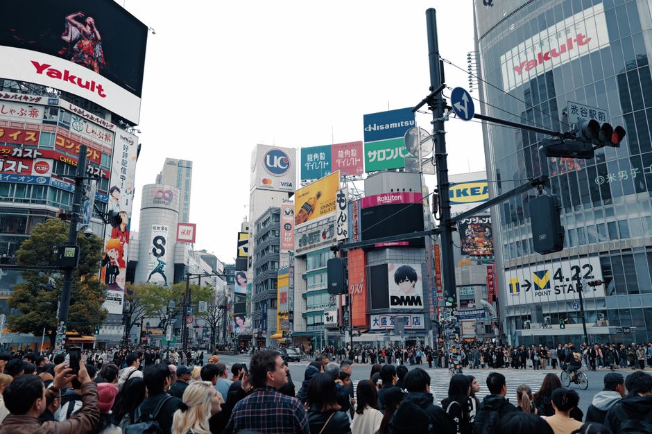
Tokyo's intricate web of rail lines, expressways and pedestrian networks didn't emerge by accident. Today's seamless Yamanote Loop, the Shinjuku Station crush of 3.6 million daily commuters, and the gleaming Maglev Test Line between Chiyoda and Yamanashi prefecture represent the culmination of seven decades of strategic thinking about how a city survives and grows.
The story begins in the ashes of 1945. As Tokyo rebuilt from firebombing devastation, planners faced an urgent question: how do you move millions of people across a sprawling urban area? The Yamanote Line, completed in its current circular form in 1972, emerged from this imperative. Originally a wartime rail route, it was expanded and modernized to create what transport historians call the backbone of Tokyo's identity—a 34.5-kilometre loop connecting Shinjuku, Shibuya, Ikebukuro and dozens of other neighborhoods that became the city's commercial and cultural heartland.
The 1960s brought different pressures. Japan's rapid economic growth meant Tokyo's population was exploding. The city couldn't expand horizontally forever. The solution: go vertical and deep underground. The Tokyo Metro, established in 1927 but radically expanded during this period, began its aggressive tunnel-boring campaign. By the 1980s, the Ginza, Marunouchi and Chiyoda lines had been joined by the Tozai, Yotsuya and Fukutoshin lines. Each represented millions of yen in investment and years of careful excavation beneath densely packed neighborhoods like Nihonbashi and Asakusa.
The economic boom of the 1980s supercharged ambitions. The Metropolitan Expressway network, which had begun in the 1960s, was extended in layers above Tokyo's streets. By the 2000s, planners were already thinking about the Chuo Shinkansen—the maglev train project launched in 2014 that will eventually connect Tokyo to Osaka in just 67 minutes. At an estimated ¥9.2 trillion, it represents Tokyo's latest answer to an eternal question: how do we stay connected?
Today, as Tokyo's population gradually plateaus and aging becomes the city's defining demographic challenge, infrastructure planning has shifted again. New projects focus less on growth and more on efficiency, accessibility and resilience. The Fukutoshin Line extension to Kawagoe, completed in 2020, prioritized regional connection over downtown glamour. The ongoing Haneda Airport railway improvements reflect similar thinking: smarter integration rather than endless expansion.
This evolution—from survival to growth to sustainability—mirrors Tokyo itself. The infrastructure we navigate daily is a physical record of how the city learned to accommodate 37 million people across the greater metropolitan area while remaining fundamentally navigable.
This article was compiled by AI from the sources linked above and screened before publishing. See our editorial standards.
How does this story make you feel?
Spread the word
About this article
Published by The Daily Tokyo
Daily brief
Free, in your inbox before 7am. Weekdays.
More in News